





GPS Earth Maps Satellite View is an application designed to assist with navigation and location awareness, offering real-time directions and satellite imagery. It allows users to plan driving routes, receive turn-by-turn voice commands, and view current traffic conditions. The app also provides detailed satellite views of locations worldwide, helping users explore landscapes, roads, and cities from above, alongside features for identifying their current position and finding nearby points of interest.
Route Planning and Navigation
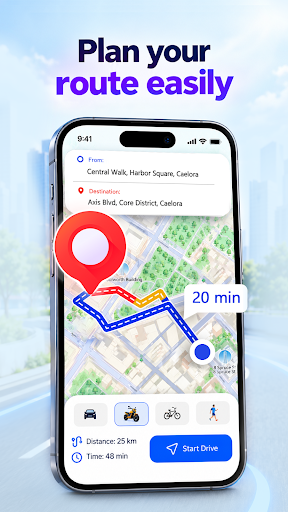
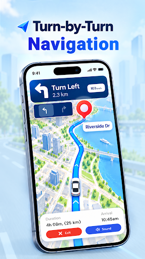
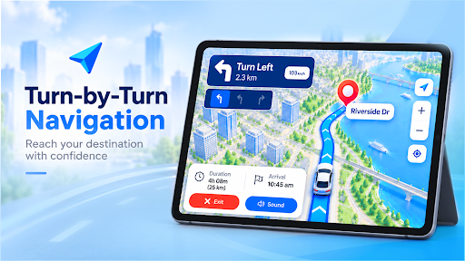
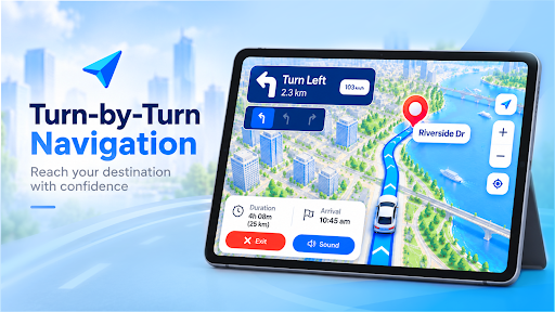
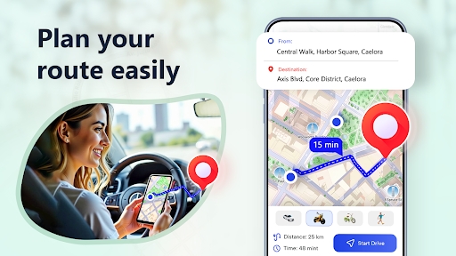
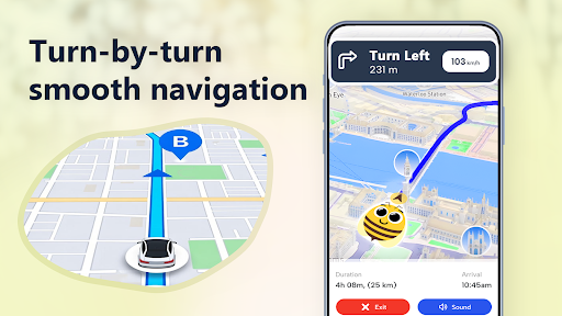
The app includes a Route Finder feature that enables users to generate driving route maps from their current GPS location to any specified destination. This functionality incorporates live traffic updates, which are integrated for navigation. Users can explore a global map to identify driving routes and view satellite maps that include detailed traffic conditions and terrain information to aid in accurate navigation. For active guidance, the Voice Navigation GPS Earth tool provides spoken commands for routes while driving, allowing users to concentrate on the road.
Satellite Imagery and Location Services
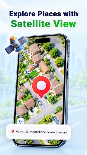
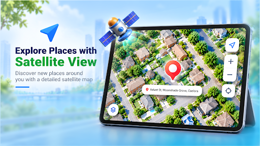
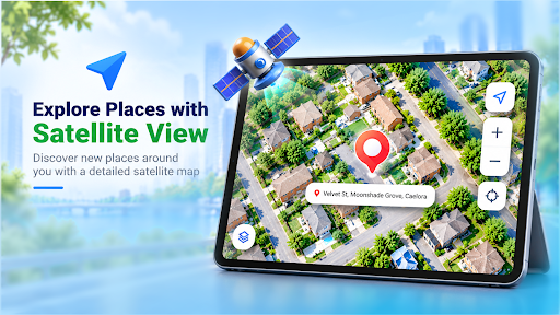
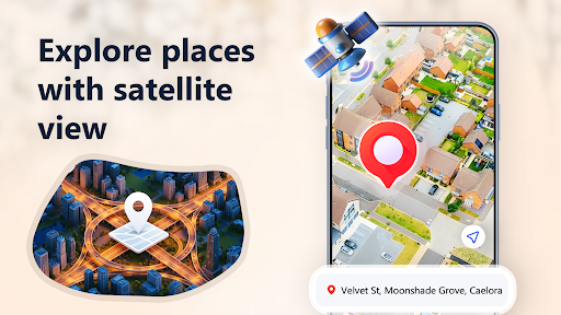
GPS Earth Maps Satellite View offers detailed Satellite Maps, presenting an overhead view of areas with clear navigation details. This allows for exploring places globally with high-quality satellite images of landscapes, roads, and cities. Additionally, the My Location feature helps users pinpoint their current position on the navigation maps, with an option to share this information. It also provides real-time traffic updates relevant to the user’s location, which can support route planning. An address finder and precise GPS map power this location service.
Exploring Places
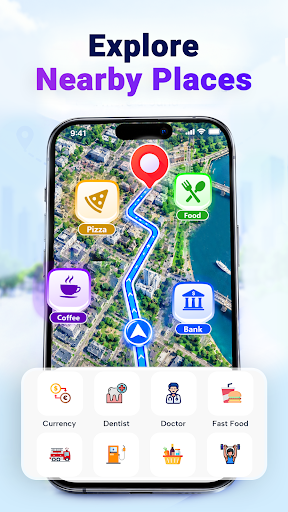
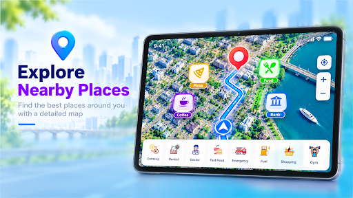
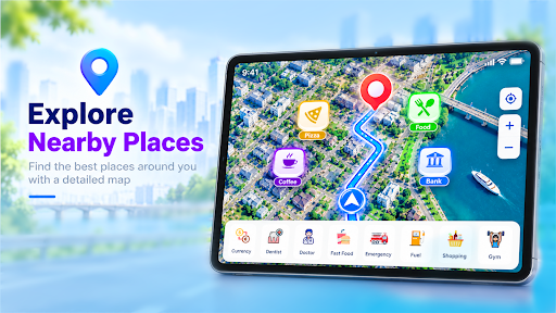
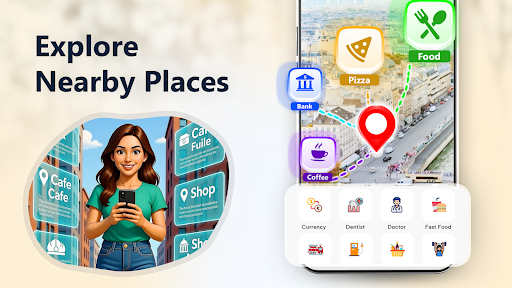
The app supports exploring nearby points of interest through its Nearby Places feature, making it straightforward to search for ATMs, petrol pumps, restaurants, and other locations. It also includes a World Explorer function for finding parking, avoiding traffic congestion, and discovering new spots using various GPS globe map views. For those interested in landmarks, the Famous Places feature allows users to view well-known landmarks on maps and through satellite views. The app has also undergone recent improvements to its overall performance.







Write a review